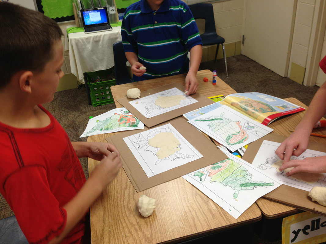
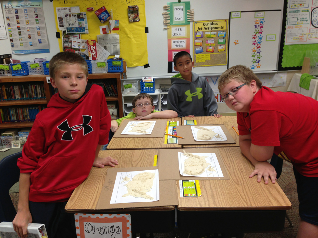
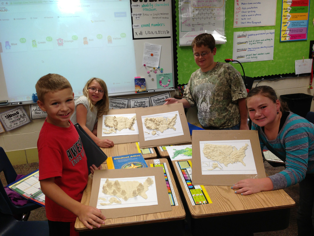
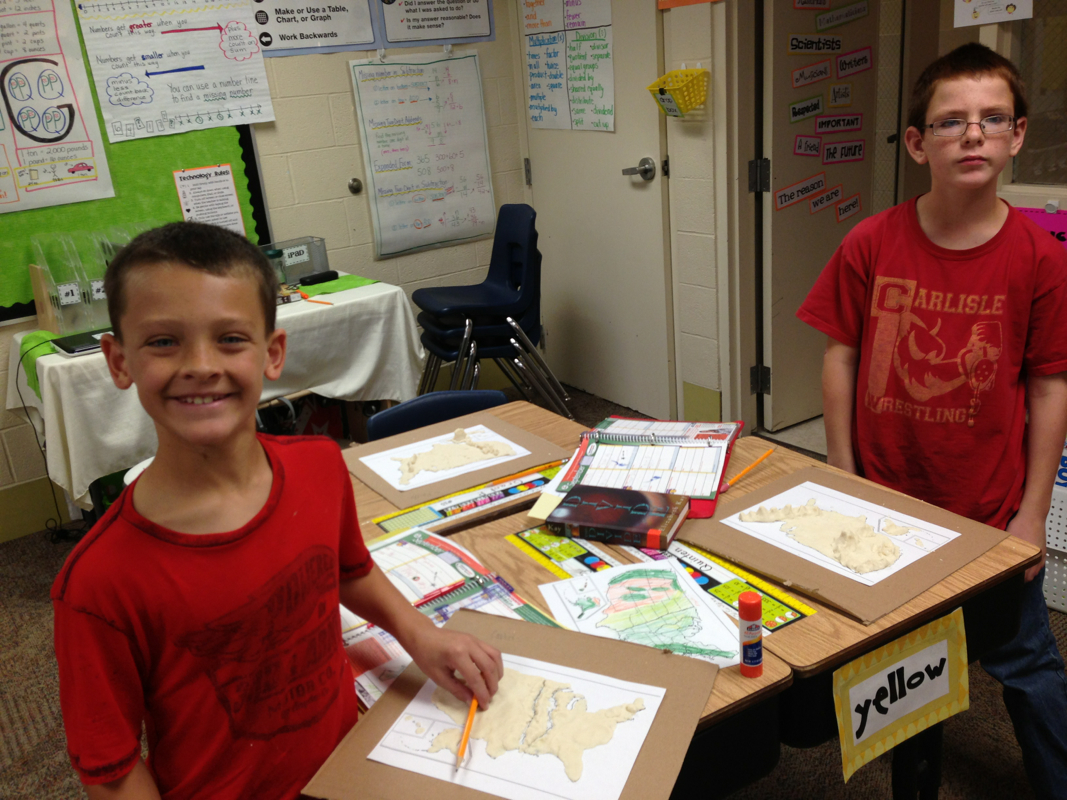
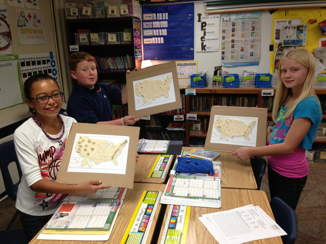
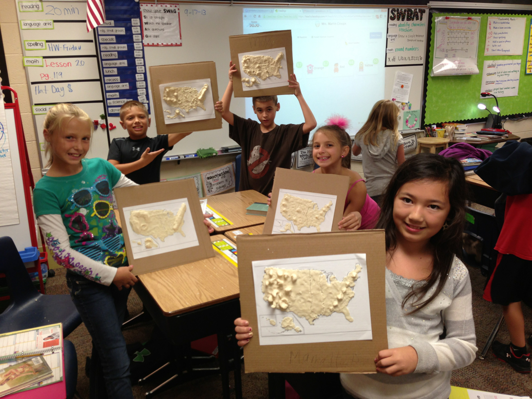
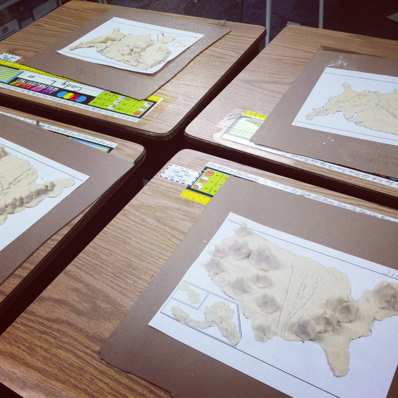
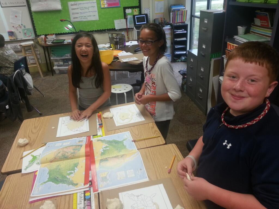
We have been working on our map skills and the difference between physical and political maps. Today we made a salt dough physical map of the United States! We talked about the mountain ranges, rivers, and highest/lowest points in our country!
They turned out great!! The maps are currently drying and will be brought home tomorrow:)
 RSS Feed